
Teaming up with Nature Conservation Margaret River Region
We’ve teamd up with local conservation grouop Nature Conservation Margaret River Region. They’ve launched a new mobile phone app that turns locals into citizen scientists and helps boost nature and biodiversity in our region.
Everyone is urged to download the free Fieldbook app, which allows people to record target invasive weed species they see in any area of bushland, national park, road verge or reserve in the region. More than 13 weed species can be reported, including arum lilies and all the highest priority non-native weedy weed trees that are a major conservation concern across the Margaret River region. It’s all part of caring for country!
Guides and hikers helping to boost biodiversity and protect nature
Community groups including the Friends of Barrett Street Reserve and Nature Conservation’s Friends of Wooditjup Bilya are already using the app to record any weed sightings. Staff from the Margaret River Busselton Tourism Association’s Capes Foundation are also using the app.
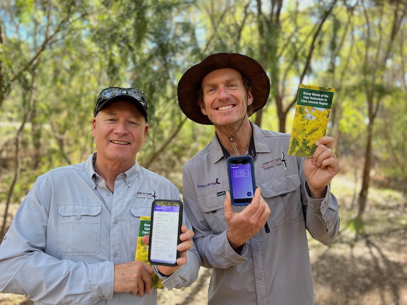
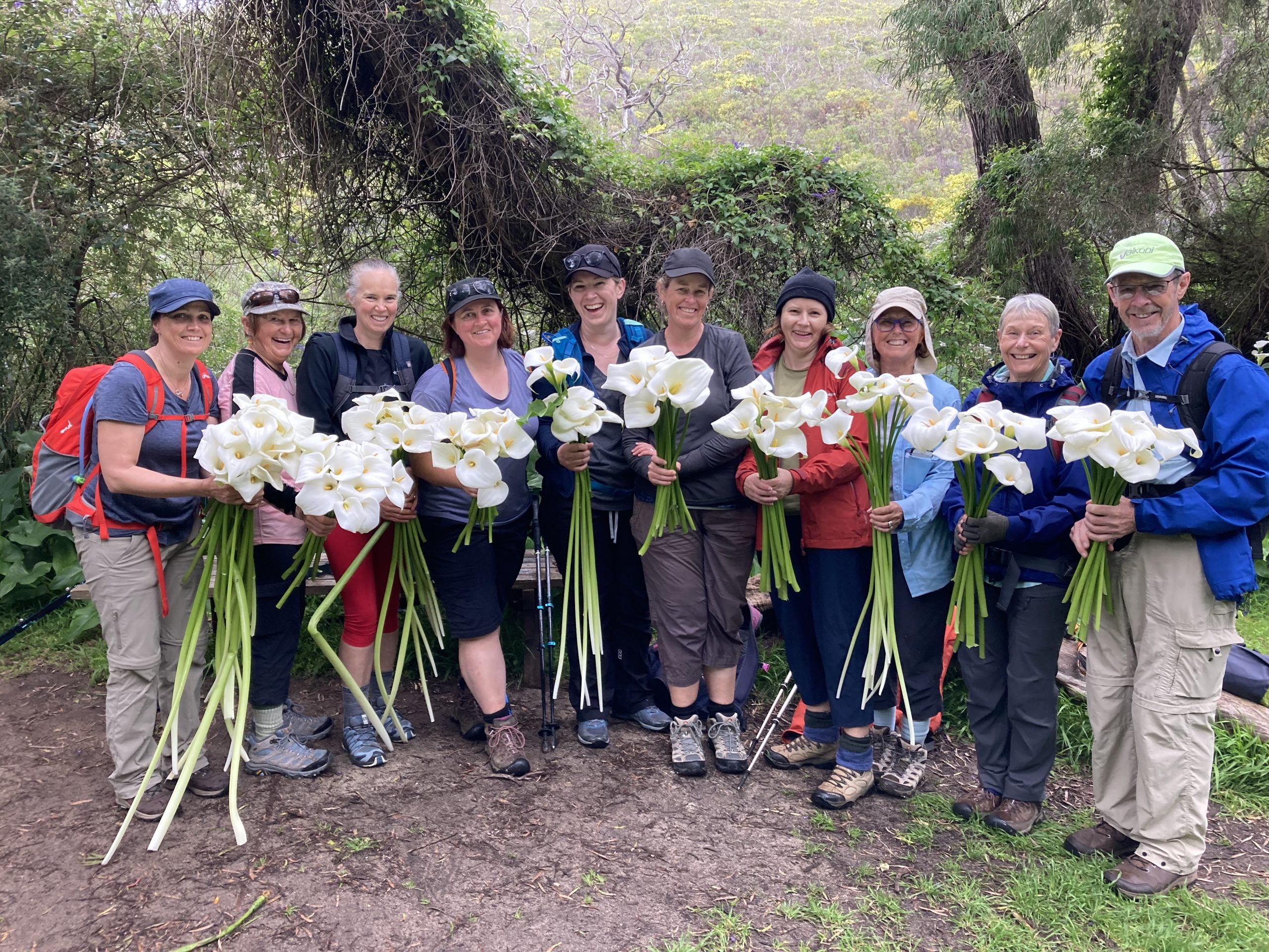
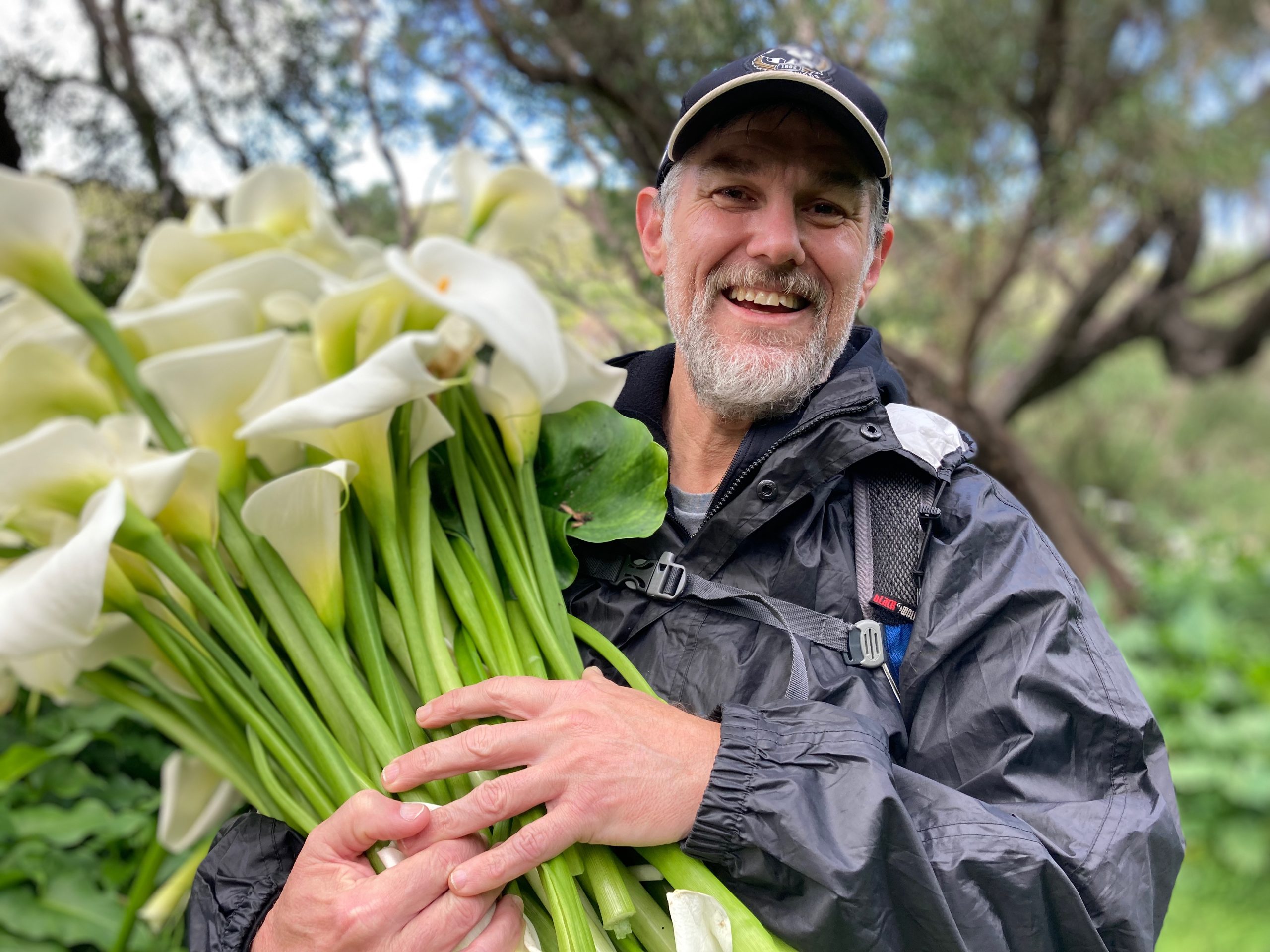
And ecotourism business Cape to Cape Explorer Tours has come on board too. It’s guides and hiking clients already help to remove weeds such as invasive arum lilies (pictured above). But now Cape to Cape guides like Ian Dignon and Trevor Paddenburg (pictured at top) are also using the the app to record any weeds sighted on or near the Cape to Cape Track.
Identifying priority areas for conservation and caring for country
The information collated by Nature Conservation will be shared with community groups and government departments to help map infestations and identify priority areas. Weed mapping is also important to identify the extent of weed infestations. And zero in on threats to high priority areas.
“We’re really excited. The Fieldbook app will enable us to get weed mapping data across the whole region. That’ll lead to good decision making and priority setting. And assist with long term monitoring,” says Nature Conservation’s biodiversity officer Peta Lierich.
Proud to play a role in protecting nature and biodiversity
Cape to Cape Explorer Tours guide Trevor Paddenburg said the team is proud to be involved in the initiative. And guides are already reporting any weed sightings. “We’re also urging everyone in the community to get involved. Particularly if they’re like us, getting out and about recreationally in our bushland and national park areas,” he says.
The data collected from the app will also help Nature Conservation fight for funding and resources to do more in the conservation space. And help the group argue the case for environmental weed control, which is a major threat to bushland and biodiversity.
Peta continued: “With our environment facing threats on all fronts and climate change starting to take a toll, there has never been a more important time to get involved with local, hands-on conservation. Such as downloading this app, learning to identify weedy species, and uploading the info via the app.”